
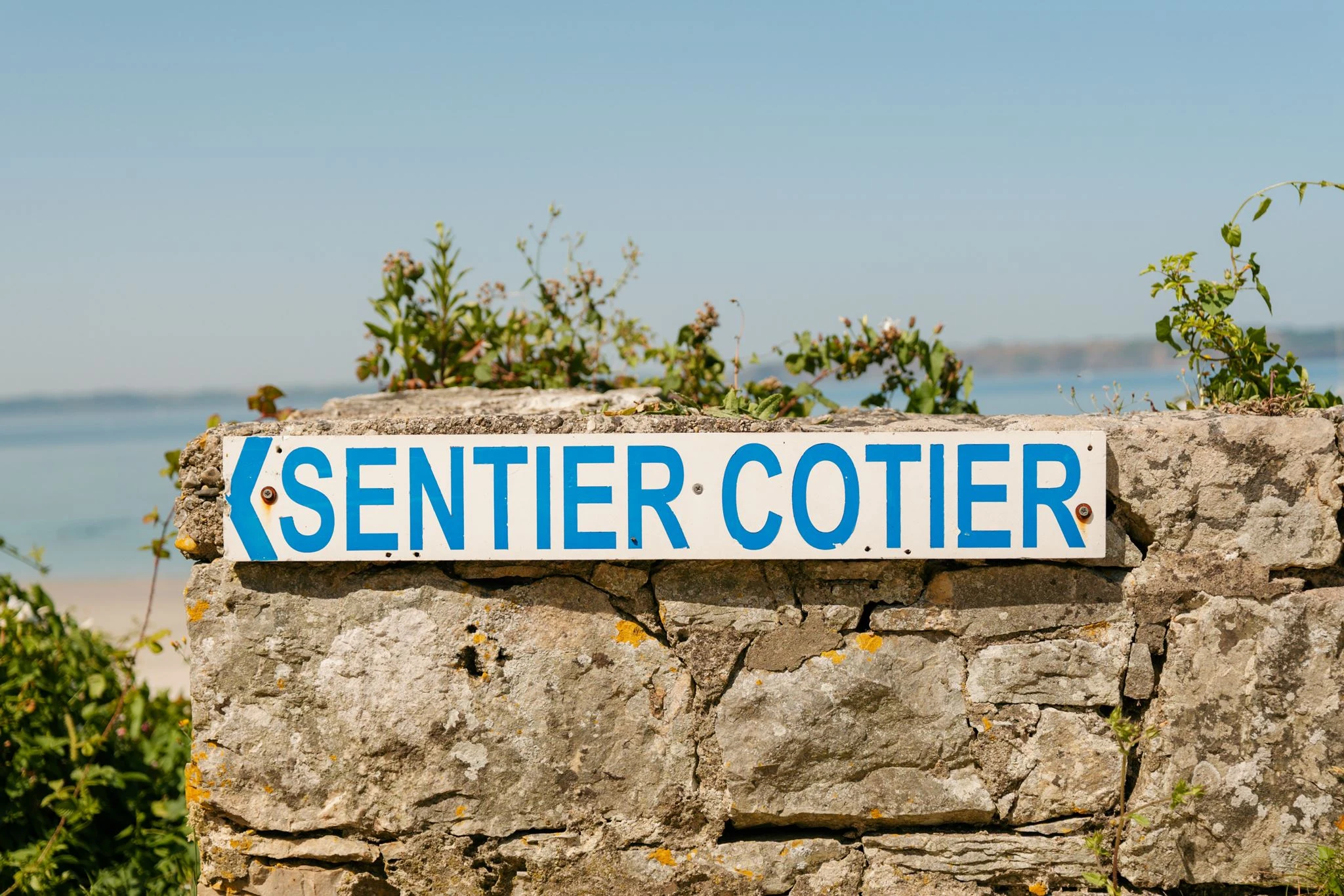
GR34: The Customs Officers' Trail
Walk along the Breton coast on the customs officers’ path
Between Mont-Saint-Michel and Saint-Nazaire, a 2,000-km trail stretches along the ocean. This long-distance hiking trail, voted the French people’s favorite, runs the entire length of the Breton coast. Whether you’re a beginner, a hiking enthusiast, or simply curious, the GR34 takes you on a wild, well-marked, and accessible route through cliffs, fine sandy beaches, quaint ports, and hidden coves. Wondering about the stages, where to stay, or how to prepare? This guide gives you everything you need to walk, explore, hike… and take in the breathtaking views.
The GR®34 at a Glance: 2,000 km of coastal hiking in Brittany
It is one of the best-known long-distance hiking trails in France. The GR®34, also known as the “customs officers’ trail,” runs along the entire Breton coastline for about 2,000 kilometers. It connects Mont-Saint-Michel, in the Manche department, to Saint-Nazaire, in the Loire-Atlantique department. Along the way, you’ll explore the wildest, most authentic, and sometimes most unexpected parts of the Breton coast.
Originally, this route was used by customs officers to combat smuggling in the 18th century. Today, it has become one of the symbols of hiking in France. In fact, the GR34 was voted “France’s Favorite GR” in 2017, a title that fits its image perfectly: a trail rich in scenic views, historical heritage, coastal towns, bays, beaches, and even nature reserves.
If you enjoy walking along the coast, this is undoubtedly one of the most beautiful routes in the country. The route follows the cliffs, winds around coves, passes through small ports, goes past lighthouses, and runs along long stretches of fine sandy beaches—all without ever straying far from the Atlantic Ocean.
The GR34 isn’t just for experienced hikers. It can be done in a day, over a weekend, or as a multi-week trek. You can hike it at your own pace, depending on your preferences and the season. Thanks to clear red-and-white trail markings and a wide variety of landscapes, it offers an experience accessible to everyone, from beginner hikers to seasoned long-distance walkers.
How do you hike the GR34?
A trail for everyone, even beginners
You don’t have to be a hiking pro to tackle the Customs Officers’ Trail. The GR34 is a long-distance hiking trail near Camaret-sur-Mer that’s accessible and often technically easy. The trail is generally well-marked, with no major elevation changes, and features clear red-and-white markings from start to finish. More challenging sections (such as on the Crozon Peninsula or near Pointe du Raz) are few and far between and can be avoided.
To each their own pace, to each their own style
You can hike the GR34 however you like. Some choose to take a day hike around a harbor or a beach. Others prefer a multi-day trek, spending the night in a lodge, campground, or bed-and-breakfast. And then there are those who aim for the full loop, from the English Channel to the Loire River, for a total immersion lasting several weeks.
It’s this flexibility that makes the GR34 a favorite route among the French: it adapts to your schedule, your fitness level, and your desire to explore.
Where to start? Where to stop?
There are no set rules. You can start wherever you like, as long as you have access to a starting point (often a port or a seaside resort) and know where to stay for the night. Some sections are very popular, such as those along the Pink Granite Coast, the Gulf of Morbihan, or the Crozon Peninsula. For your first time, it’s best to choose a well-connected area with nearby lodging options.
The key is to walk with your eyes open
This trail isn’t just a physical challenge. Above all, it’s an outdoor experience that puts you in direct contact with Brittany’s natural beauty. Take your time, look around, walk along the coast, spot seabirds, and pass through a postcard-perfect landscape… Even just a few kilometers are enough to feel the effect.
What are the main stages of the GR34?
The GR34 is essentially a walking tour of Brittany. It follows the Breton coastline from one end to the other, covering more than 2,000 kilometers. Naturally, along the way, it passes through very different regions. Each section has its own character, landscapes, and atmosphere. Here are the major stages that make up the route.
From Mont-Saint-Michel to Saint-Malo: the start on the English Channel side
The trail gets off to a spectacular start, facing one of the world’s most beautiful sites: Mont-Saint-Michel. You’ll walk along the shores, skirt the bay, and then reach the first cliffs of Cancale. The route continues toward Saint-Malo, the pirate city. It’s the perfect way to get your legs going.
From the Emerald Coast to the Pink Granite Coast
After Saint-Malo, you follow the curves of the Emerald Coast. Cap Fréhel, Fort la Latte, the wild beaches of Pléneuf-Val-André… Then, you enter the Côtes-d’Armor department and arrive at one of the most famous sections of the GR34: the Pink Granite Coast, between Perros-Guirec and Trégastel. Strangely shaped pink rocks, turquoise water, and stunning coves. A must-see.
Morlaix Bay, the Crozon Peninsula, the magic of Finistère
Finistère marks a change. Here, the trail becomes wilder and rockier. It crosses Morlaix Bay, heads toward Brest Harbor, then winds its way into the Crozon Peninsula. Between Cap de la Chèvre and Pointe de Pen-Hir, the panoramic views are spectacular. It’s also a favorite spot among experienced hikers.
From the Bigouden Region to the Gulf of Morbihan
The route continues along the Cornouaille coast to Concarneau, then heads down toward the Bigouden region. Here, you’ll discover fishing ports, endless beaches, and isolated lighthouses. As you enter Morbihan, the landscape becomes gentler. You gradually reach the calm waters of the gulf, with its islands, marshes, and small coastal towns.
From the Guérande Peninsula to Saint-Nazaire: Arrival in Loire-Atlantique
The Customs Officers’ Trail concludes its journey in a more understated—but equally beautiful—part of Brittany. You’ll cross the salt marshes and the coves of Piriac-sur-Mer before arriving in Saint-Nazaire, the official end of the GR34. This final stretch blends rocky coastline, seaside resorts, and traces of industry.
What kinds of landscapes does the Customs Officers' Trail pass through?
It’s impossible to talk about the GR34 without mentioning the scenery. This coastal trail offers a concentrated taste of Breton nature—raw and unfiltered. Around every bend, a view. With every climb, a panorama. That’s what makes this long-distance hike so charming: the scenery is constantly changing.
A wild coastline, always right by the ocean
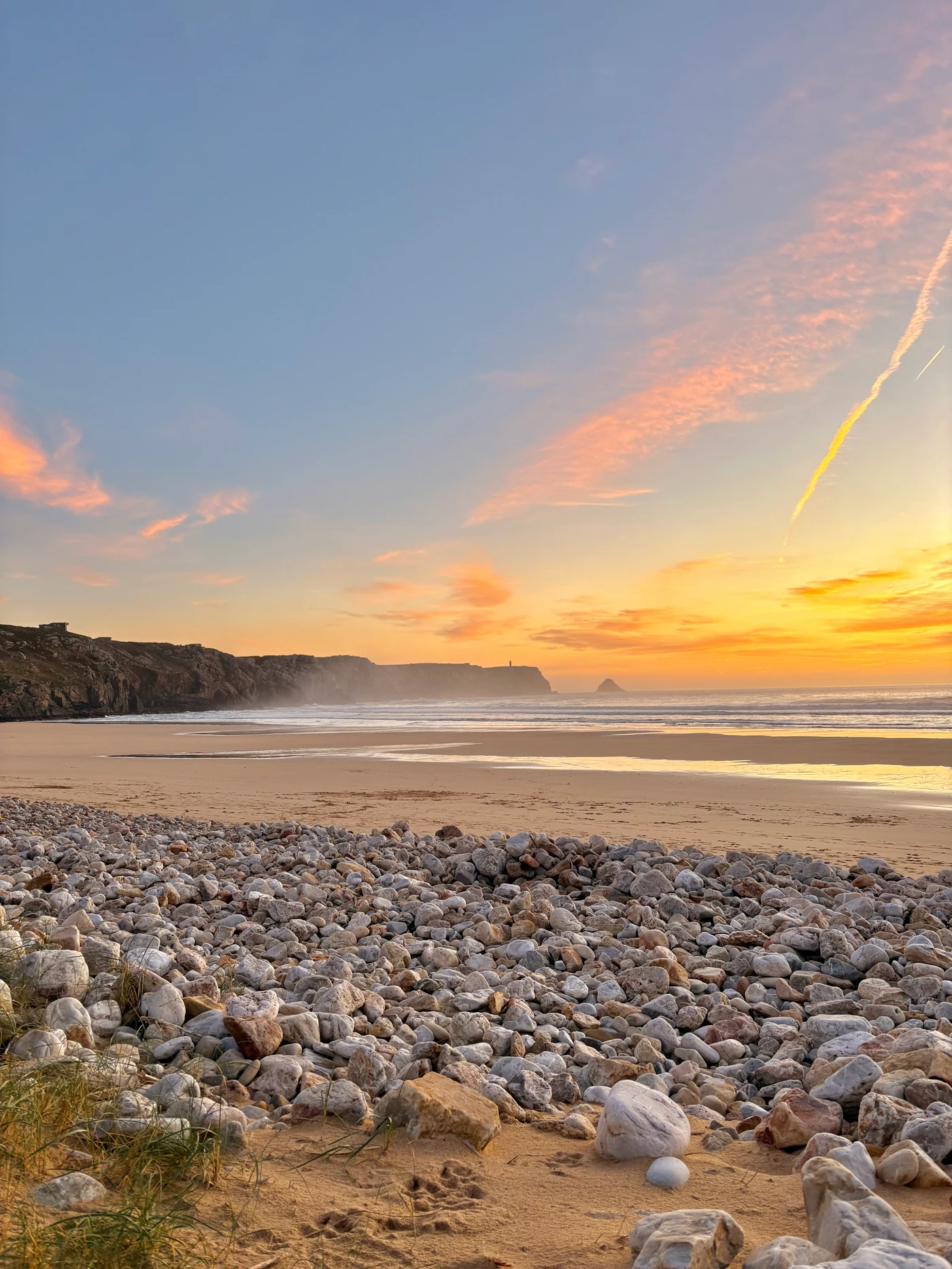
The GR34 runs relentlessly along the Breton coastline. You’ll often find yourself walking just a few meters from the sea, along the edge of a cliff, a dune path, or a trail carved into the rock. It’s a route full of contrasts, where the wild coast takes on a thousand different faces:
-
Rocks pounded by the waves in Finistère
-
Stretches of fine sand in Morbihan
-
Steep headlands on the Crozon Peninsula
-
Secret coves accessible only on foot
Even on a gray day, there’s something mesmerizing about this Breton light.
The Pink Granite Coast: a life-size postcard
Between Perros-Guirec and Ploumanac’h, the Pink Granite Coast is one of the most famous sections of the GR34 hiking trail. Here, the rocks take on strange shapes, sculpted by the wind and water. The contrast between the pink of the rocks, the blue of the ocean, and the green of the moor is unique. It’s also a protected area, with well-maintained trails and breathtaking views.
Morlaix Bay, between the sea and the inland
Further on, toward the north of Finistère, the Customs Officers’ Trail crosses Morlaix Bay. The atmosphere here is different: calmer, gentler. You’ll come across seabirds, islands at low tide, and lighthouses perched on rocky islets. It’s one of the few places where the GR34 veers slightly away from the sea to wind its way through ports, forests, and marshes.
Every region has its own atmosphere
What makes this trail so endearing is the diversity of its landscapes. You go from a windswept headland to a quiet beach, from a fishing village to a bustling seaside resort. And always, in the background, the Atlantic Ocean.
The GR34 promises a chance to experience Brittany in its natural state, on foot, without filters or artifice.
Where can you stay along the GR34?
If you’re hiking for several days, you’re bound to wonder about where to stay. And the good news is that the GR34 is one of the best-served trails in France. At almost every stage, you can find lodging near the trail without having to make a detour.
Options for Every Budget
Along the Customs Officers’ Trail, you’ll find:
-
hiker-friendly lodgings,
-
campgrounds, often with sites facing the sea,
-
bed-and-breakfasts in coastal villages,
-
comfortable hotels in the towns and ports along the route.
Whether you’re traveling light with just a backpack or looking for a little more comfort, there’s always an option for a well-deserved break between two days of hiking.
An ideal spot in Camaret-sur-Mer: the Hôtel Thalassa
If your route takes you through the Crozon Peninsula, be sure to stop in Camaret-sur-Mer. It’s an iconic stop on the GR34, offering breathtaking views of the cliffs, Cap de la Chèvre, and the Iroise Sea.
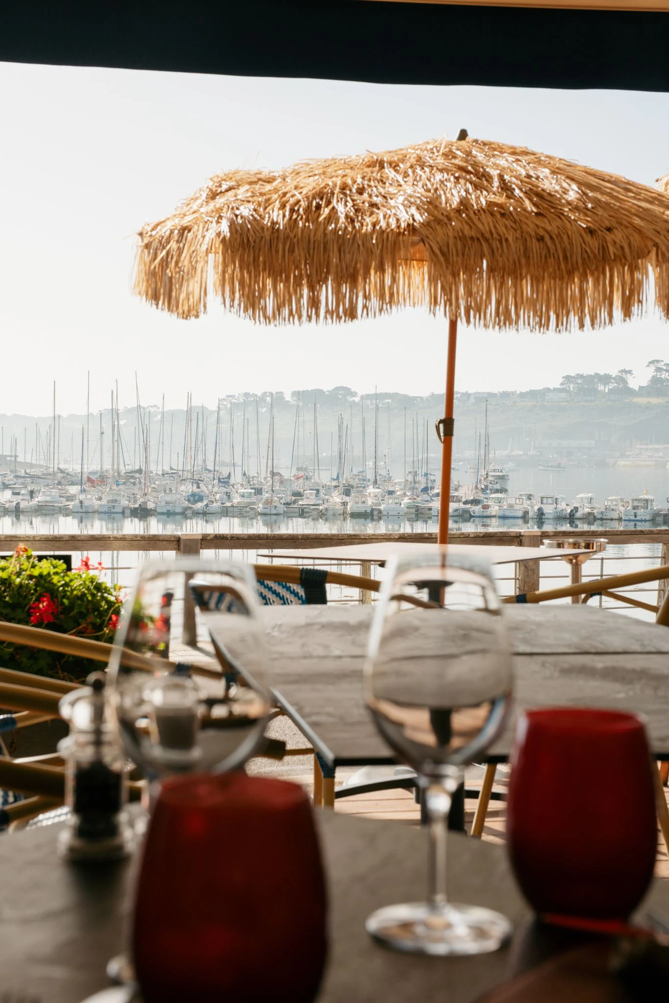
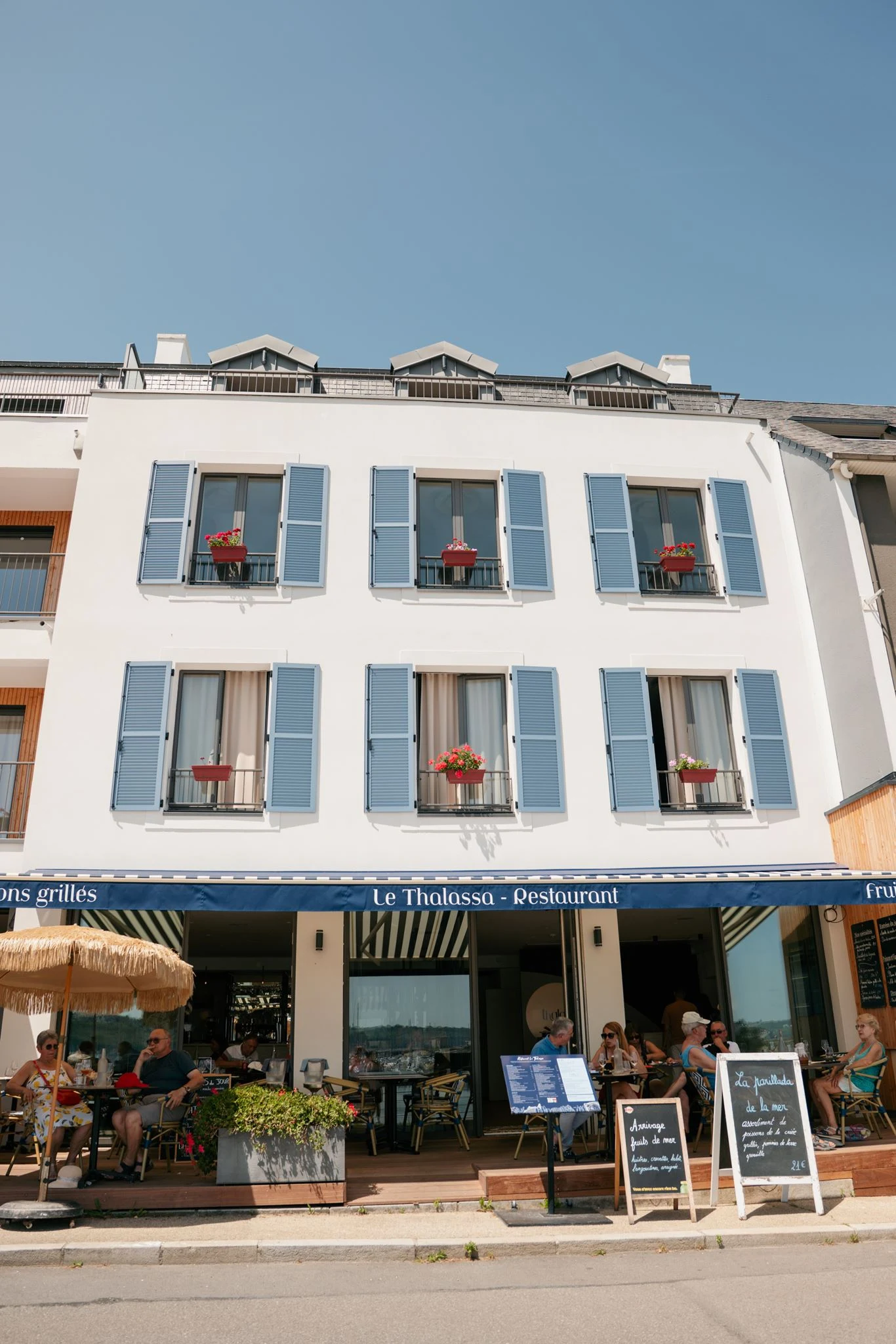
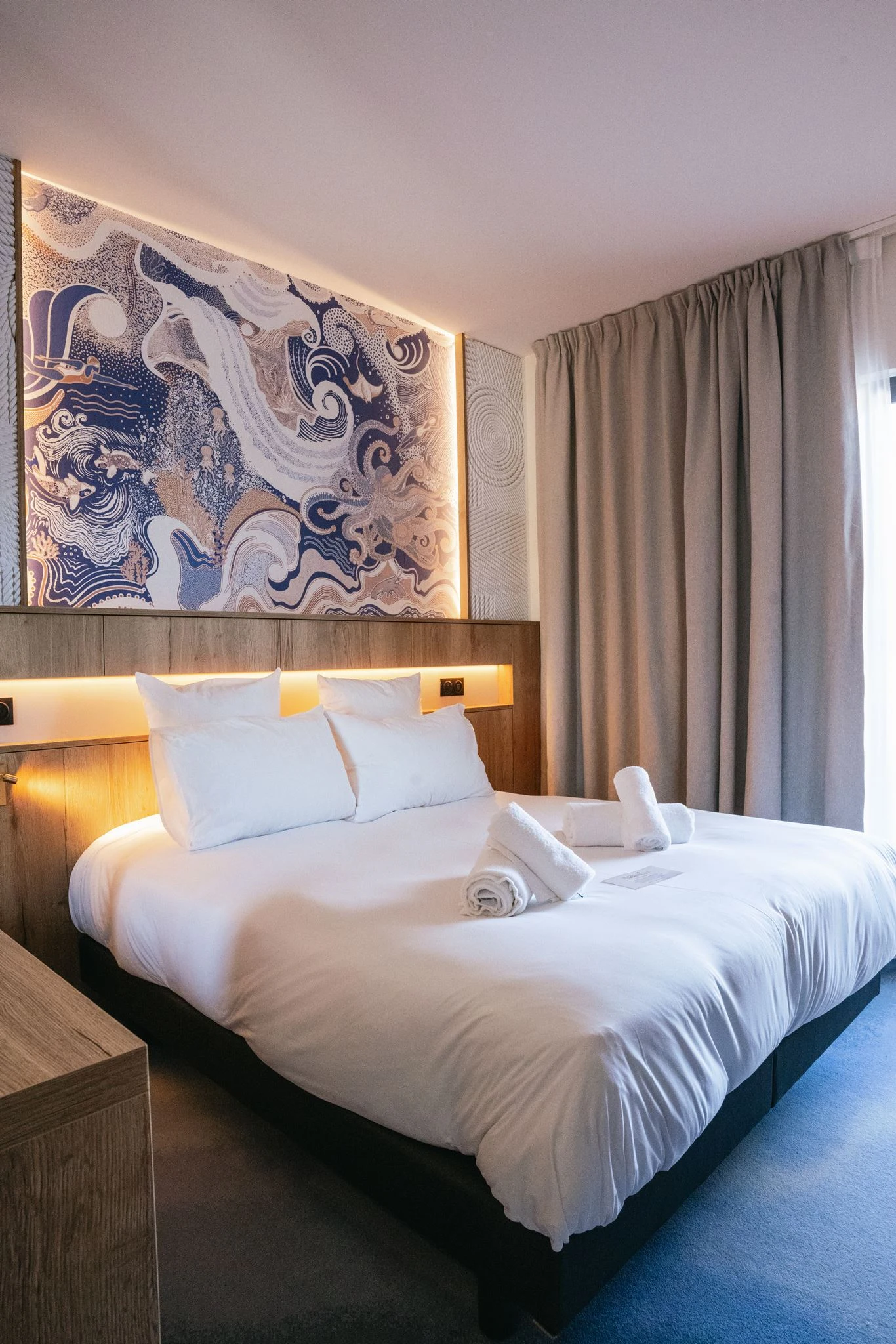
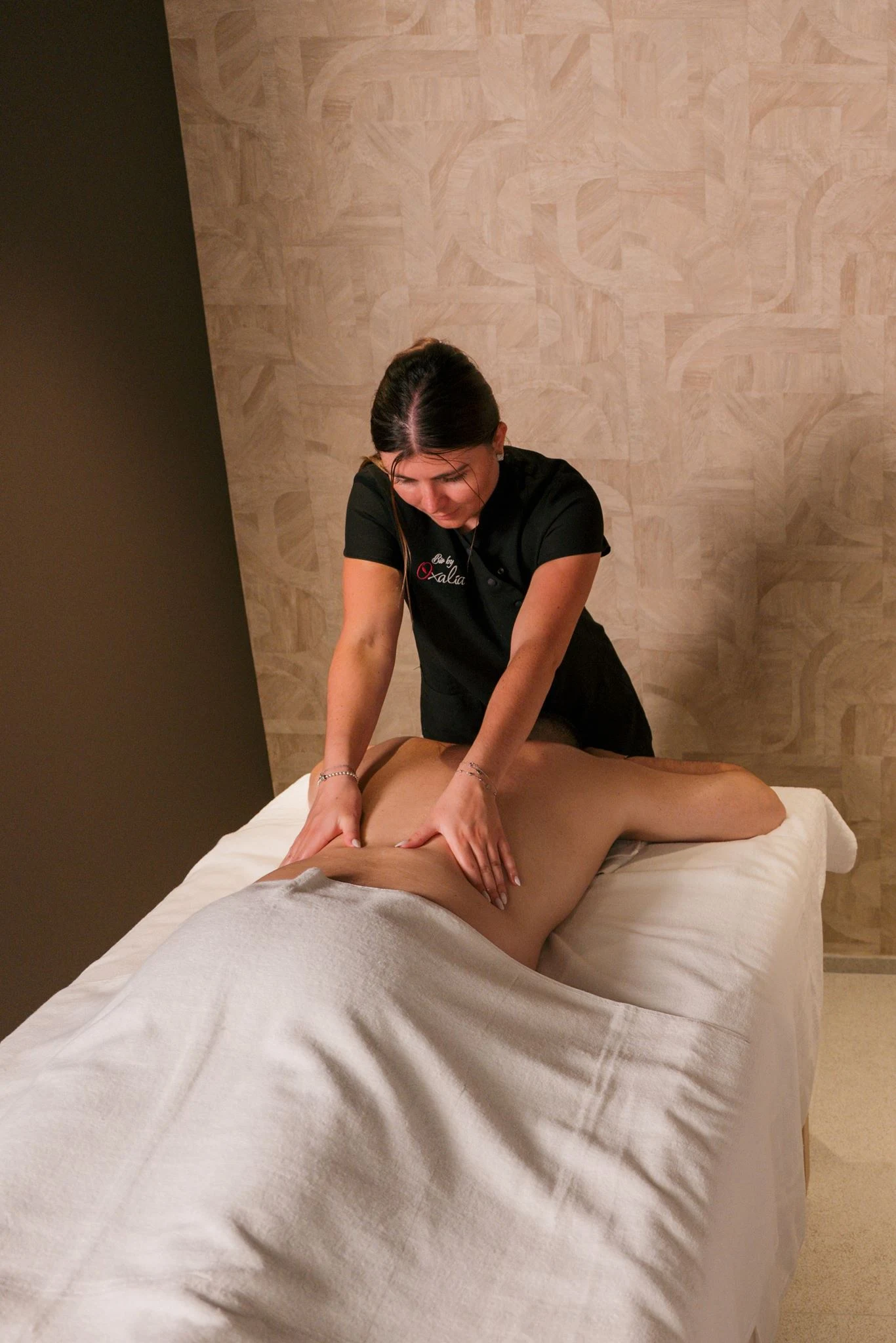
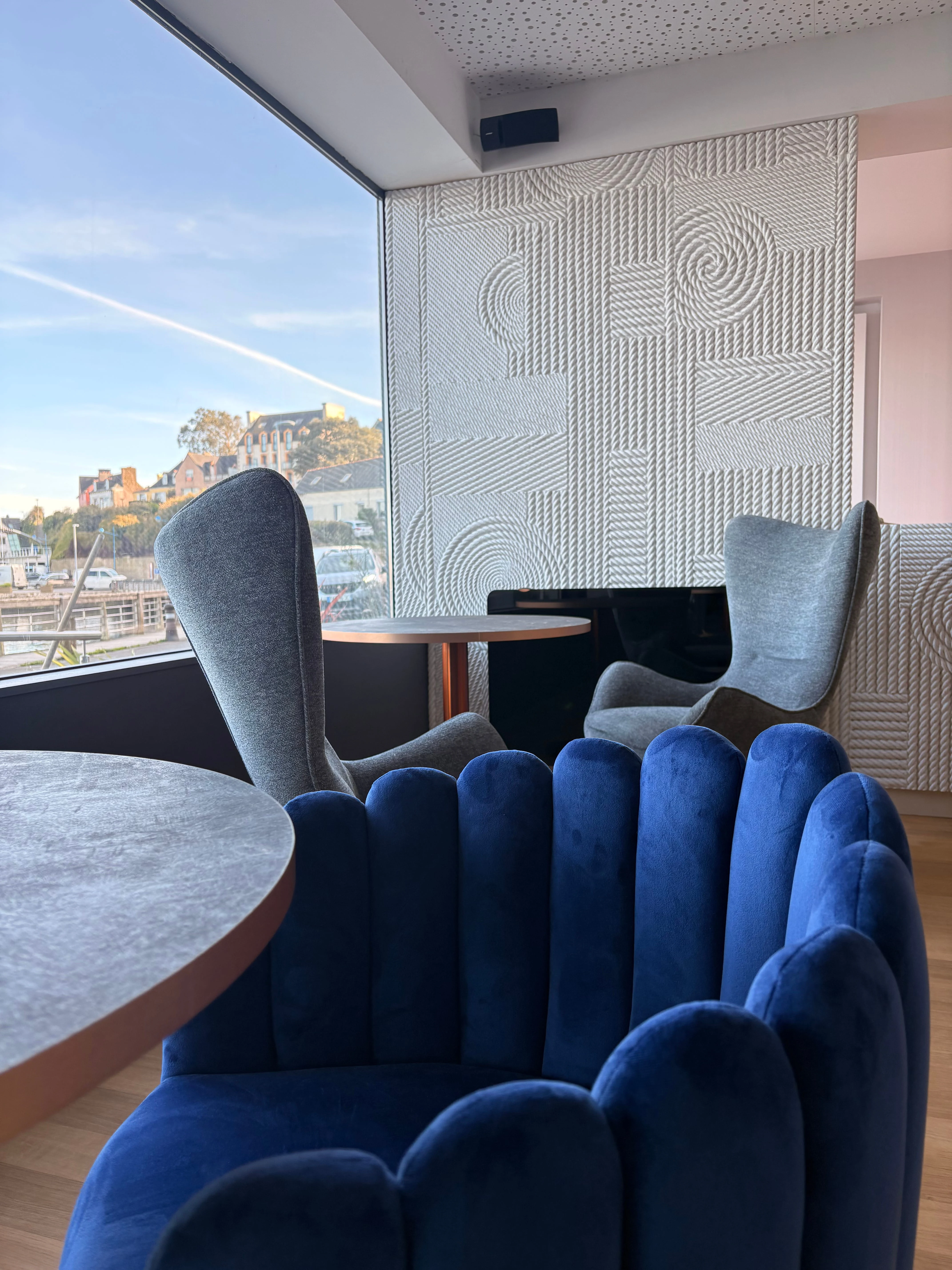
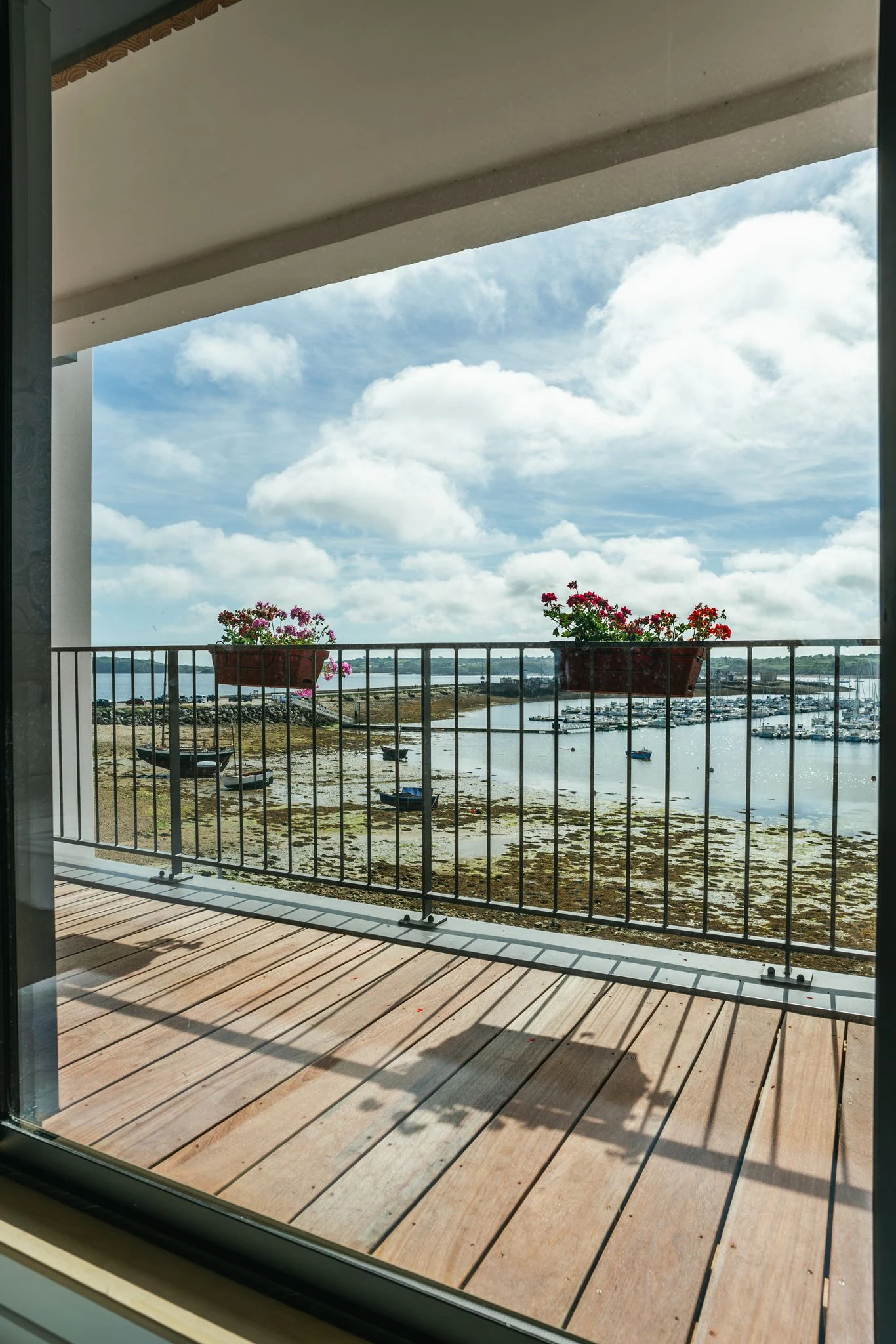
Here, a relaxing stay awaits you at the Hôtel Thalassa, ideally situated facing the sea in a peaceful setting. The hotel offers comfortable rooms, a breathtaking view of the harbor, and a renowned restaurant that showcases fresh seafood. After a day of hiking, it’s the perfect place to rest, enjoy a delicious meal, and recharge your batteries. The welcome is warm, the services are tailored to travelers, and you’ll leave feeling refreshed and ready to go.
Always Stay Close to the Trail
The GR34 almost always follows the coastline, making it easy to reach villages or beach resorts. Many accommodations are just a short walk from the trail, with no need for a detour. To better plan your overnight stay, remember to:
-
book in advance (especially in summer),
-
check availability through local tourist offices,
-
choose your stops based on areas with multiple lodging options.
Itirando: Your partner for planning your hike on the GR34
Want to set out on the GR34 but don’t know where to start? You’re not alone. Between choosing a route, booking lodging, managing your luggage, or simply selecting a section suited to your skill level, it can quickly become a headache.
That’s exactly where Itirando comes in. This online service, designed entirely with hikers in mind, helps you plan your route along the Customs Officers’ Trail, step by step.
A tool to easily plan your itinerary
With Itirando, you can:
-
create a personalized route based on how far you want to walk each day,
-
discover must-see points of interest along the way,
-
find available lodging at each stop,
-
and even plan your luggage logistics so you only carry the essentials while hiking.
It’s a turnkey solution designed for both beginners and seasoned hikers. You can set out with greater peace of mind, knowing that everything has been planned to let you fully enjoy the GR34 without any stress.
A real plus when you want to get started without overcomplicating things
One of the GR34’s major advantages is that it’s highly flexible. You can hike for 3 days, a week, or a month. But this flexibility can also leave you feeling unsure. Which section should you choose? Where should you stop? How can you avoid stages that are too long or too isolated?
Itirando helps you make these decisions easily, with tried-and-true suggestions tailored to your pace.
Must-See Attractions Along the GR34
The Customs Officers’ Trail isn’t just a lovely seaside stroll. It’s also a true tourist route that winds through some of Brittany’s most beautiful sites. Spectacular views, places steeped in history, iconic landmarks… You discover them in a whole new way on foot.
Pointe du Raz: One of the Most Visited Sites
It’s impossible to talk about the GR34 without mentioning the Pointe du Raz in Finistère. Designated a “Grand Site de France,” it offers an incredible view of the ocean, especially when the waves are crashing. It’s a legendary stop for hikers, with a coastal trail hugging the cliffside and a feeling of being at the end of the world.
The Old Guardhouses: Remnants of the Past
All along the GR34, you’ll come across old guardhouses—small stone buildings where customs officers once kept watch over the sea. Some are still standing, sometimes repurposed or left in their original state. They serve as a reminder that this hiking trail was originally used for coastal surveillance.
Historic Monuments Right by the Water
The trail winds past fortifications, chapels, and lighthouses, some perched on headlands facing the sea. Among the most striking:
-
Fort La Latte, perched above the cliffs of the Emerald Coast,
-
the Vauban Tower in Camaret-sur-Mer, a UNESCO World Heritage Site,
-
and the Saint-Mathieu Lighthouse, which is both in ruins and still in operation.
Every region crossed by the GR34 has its own treasures, often lesser-known to the general public but magnificent to discover on foot.
Breathtaking views around every bend
The true luxury of the GR34 lies in its natural vistas. At almost every stage, you’ll come across an open bay, a cove hidden from the road, a panoramic ocean view, or a 180-degree sunset. That’s also why this Breton trail is so popular: it rewards your effort with unadulterated beauty.
Dining along the GR34: the restaurant at the Hôtel Thalassa in Camaret-sur-Mer
Walking makes you hungry—that’s a fact. And along the GR34, there are plenty of ways to treat yourself after a day of hiking. Whether you’re looking to recharge your batteries or enjoy some quality time overlooking the sea, certain spots are definitely worth the detour.
A Delicious Stop on the Crozon Peninsula
Among the most memorable spots along the Customs Officers’ Trail, the Crozon Peninsula holds a special place. Wild, rugged, spectacular… it’s one of hikers’ favorite sections. And in the heart of this magnificent landscape, Camaret-sur-Mer offers a wonderful opportunity to take a gourmet break.
A table overlooking the sea: the restaurant at the Hôtel Thalassa
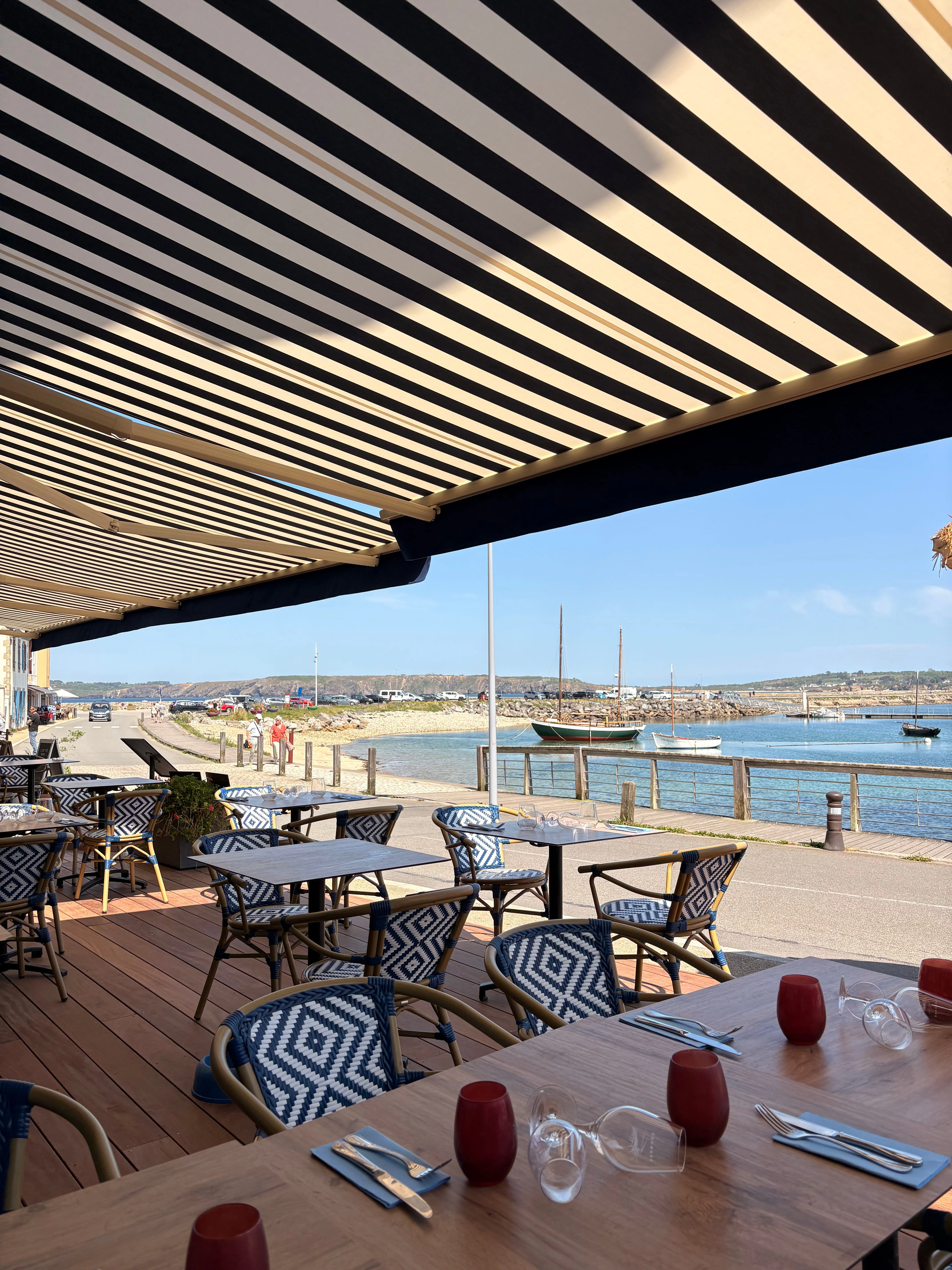
Located just a few steps from the trail, right on the waterfront, the restaurant at the Hôtel Thalassa in Camaret-sur-Mer serves hearty dishes inspired by the sea and fresh local ingredients. Here, fish is grilled à la plancha, seafood is prepared in-house, and every effort is made to ensure the flavors live up to the exceptional view of the harbor.
It’s the perfect place to:
-
enjoying a delicious meal after a day of walking,
-
relaxing on the terrace with a view of the harbor and the Vauban Tower,
-
or simply treating yourself, between hikes, to expertly prepared local cuisine.
The service is warm, the atmosphere is relaxed, and the portions are sized just right for hikers’ appetites. In short, it’s a must-visit stop for lovers of great food and stunning ocean views.
Preparing for a Hike on the GR34
Hiking the GR34 isn’t something you can just wing. Even though the Customs Officers’ Trail is accessible, a little preparation will make your experience much more enjoyable. Here are the key points to keep in mind before you set out.
Choose the right route based on your fitness level
The GR34 is long. Very long. About 2,000 kilometers. But the idea isn’t to do it all at once. Take the time to choose a section that suits your fitness level, the time you have available, and the type of scenery you enjoy.
For your first time, aim for a 2- to 5-day section between two well-connected towns with accessible lodging. Tools like Itirando can help you plan a customized itinerary.
The right gear makes all the difference
You don’t need professional-grade gear, but certain items are essential:
-
Comfortable hiking boots (not brand-new)
-
A lightweight, well-fitting backpack
-
Clothing suited to the Breton weather: windbreaker, fleece, rain gear
-
Water bottle, snacks, sunscreen, hat
-
IGN map or GPS app, even though the trail markings are very reliable
Keep in mind that the weather can change quickly, even in summer. It’s better to be overprepared than underprepared.
Clear trail markings, but stay alert
The GR34 is well marked with the traditional red and white markings found on long-distance hiking trails. That said, certain sections in towns or forests can be confusing. It’s always a good idea to have a map or a hiking app on hand just in case.
Be realistic about your pace
Most hikers cover between 15 and 25 km per day, depending on the elevation gain (usually moderate) and the weather. There’s no need to push yourself too hard right from the start: pack light, listen to your body, and always allow for a little extra time.